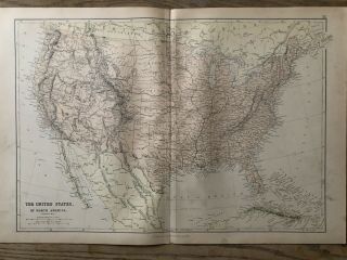
1859 UNITED STATES HAND COLOURED ANTIQUE MAP BY W. G. BLACKIE


Item History & Price

Information:
Reference Number: Avaluer:38238Year: 1859
Original/Reproduction: Antique OriginalFormat: Atlas Map
Date Range: 1800-1899Cartographer/Publisher: W.G. Blackie
Country/Region: United States of AmericaType: Political Map
Original Description:
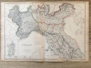
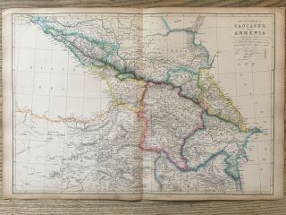
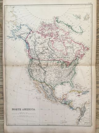
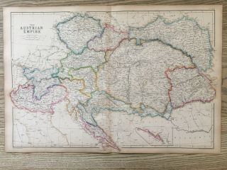
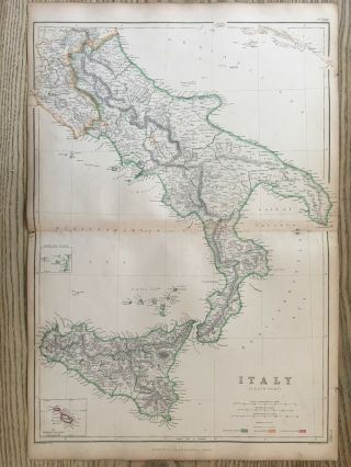
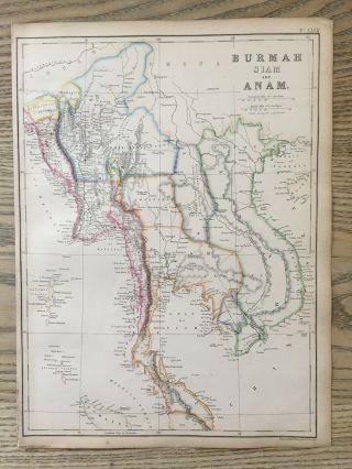
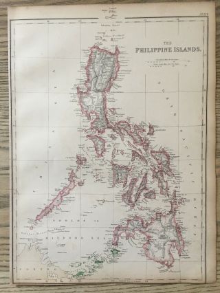
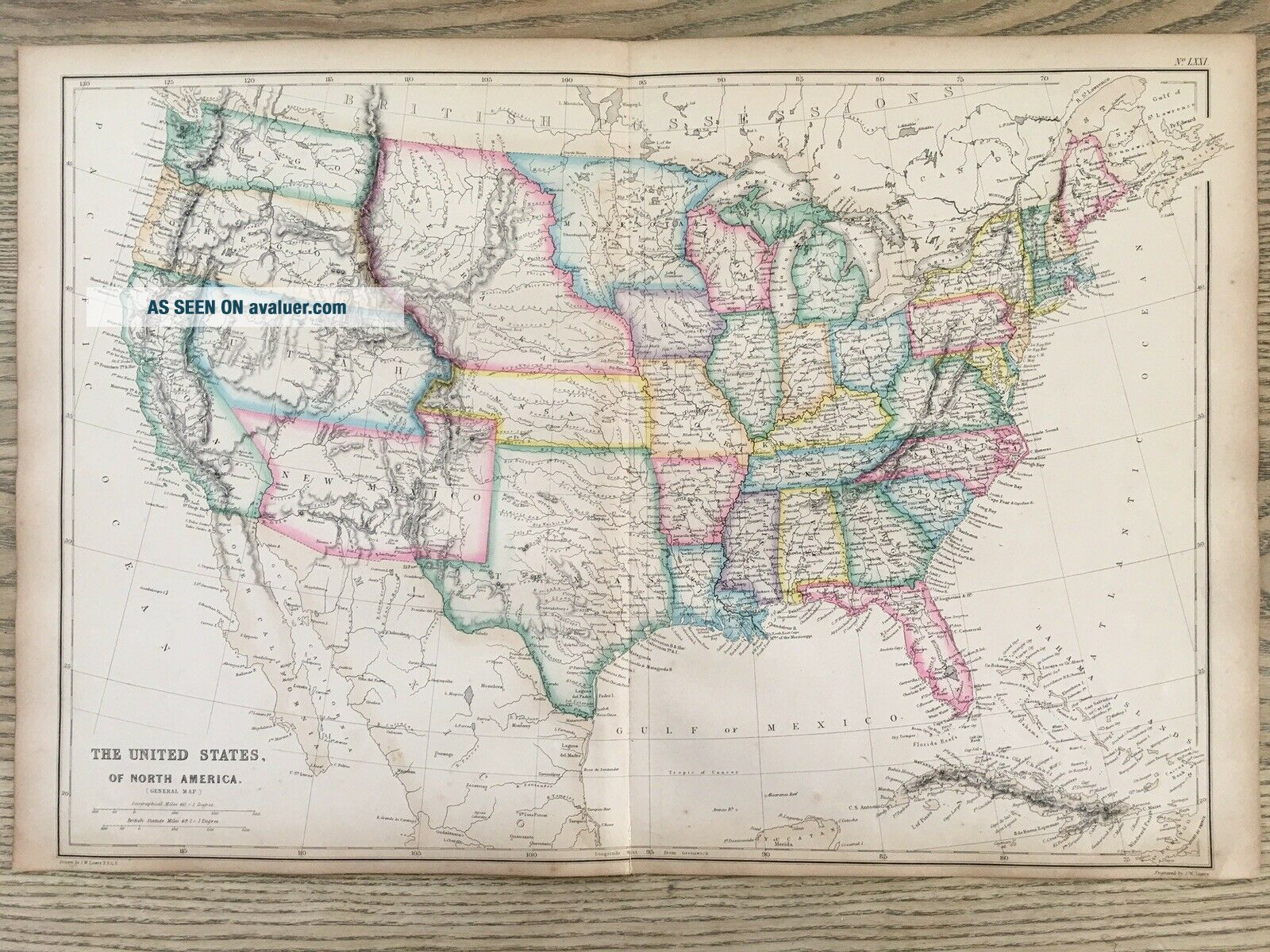
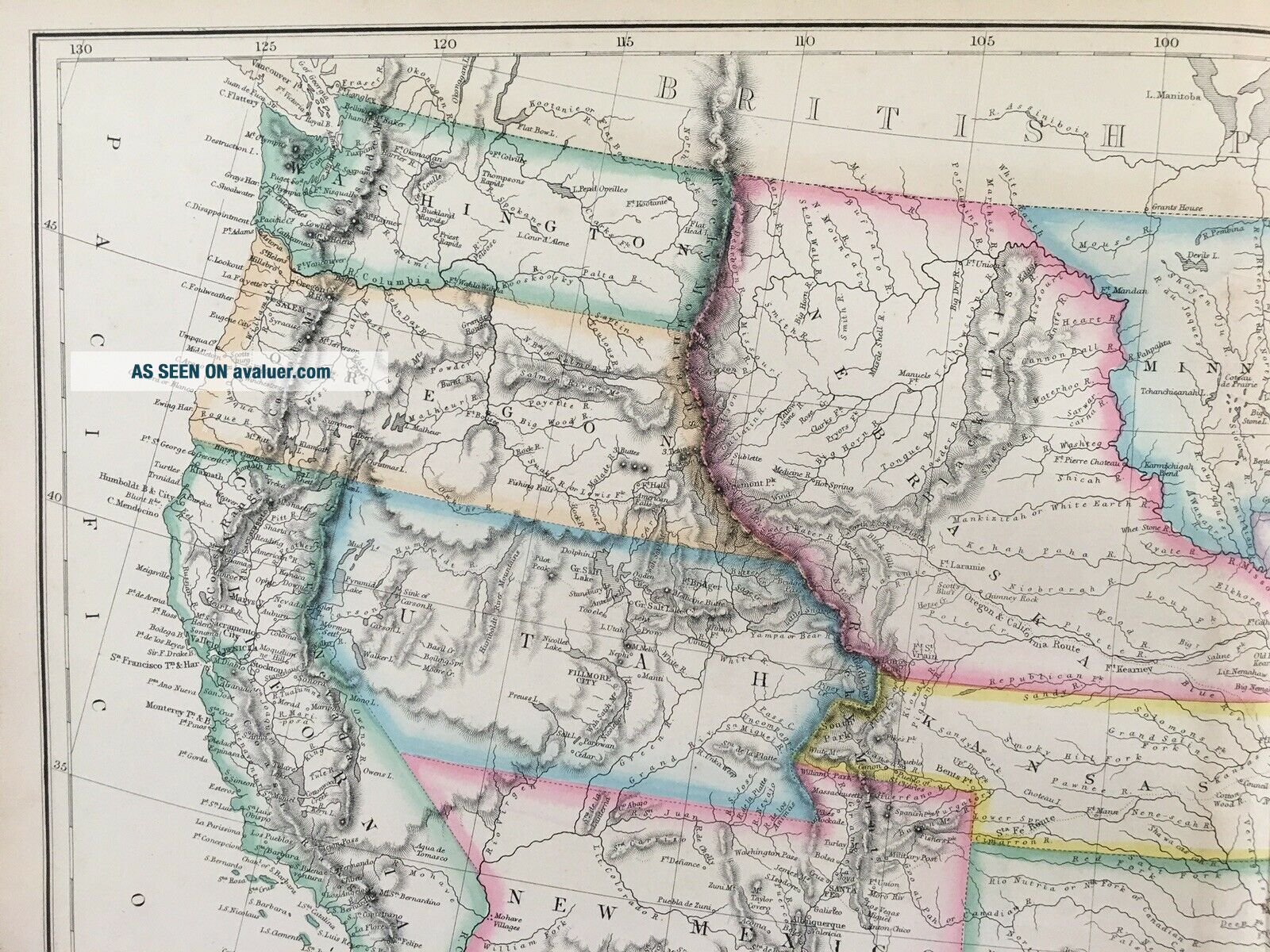
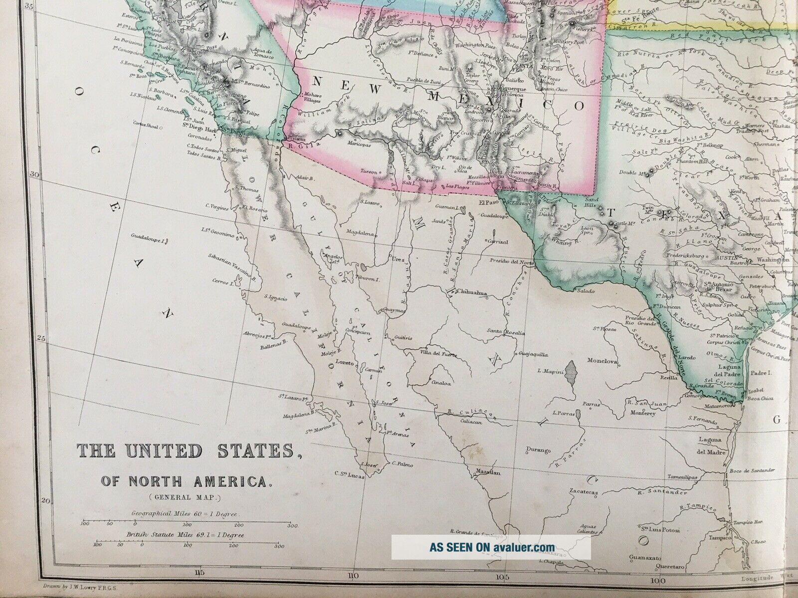
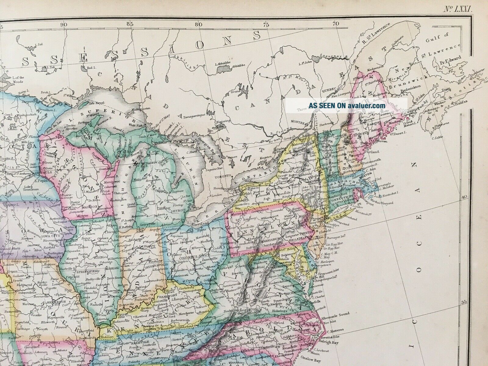
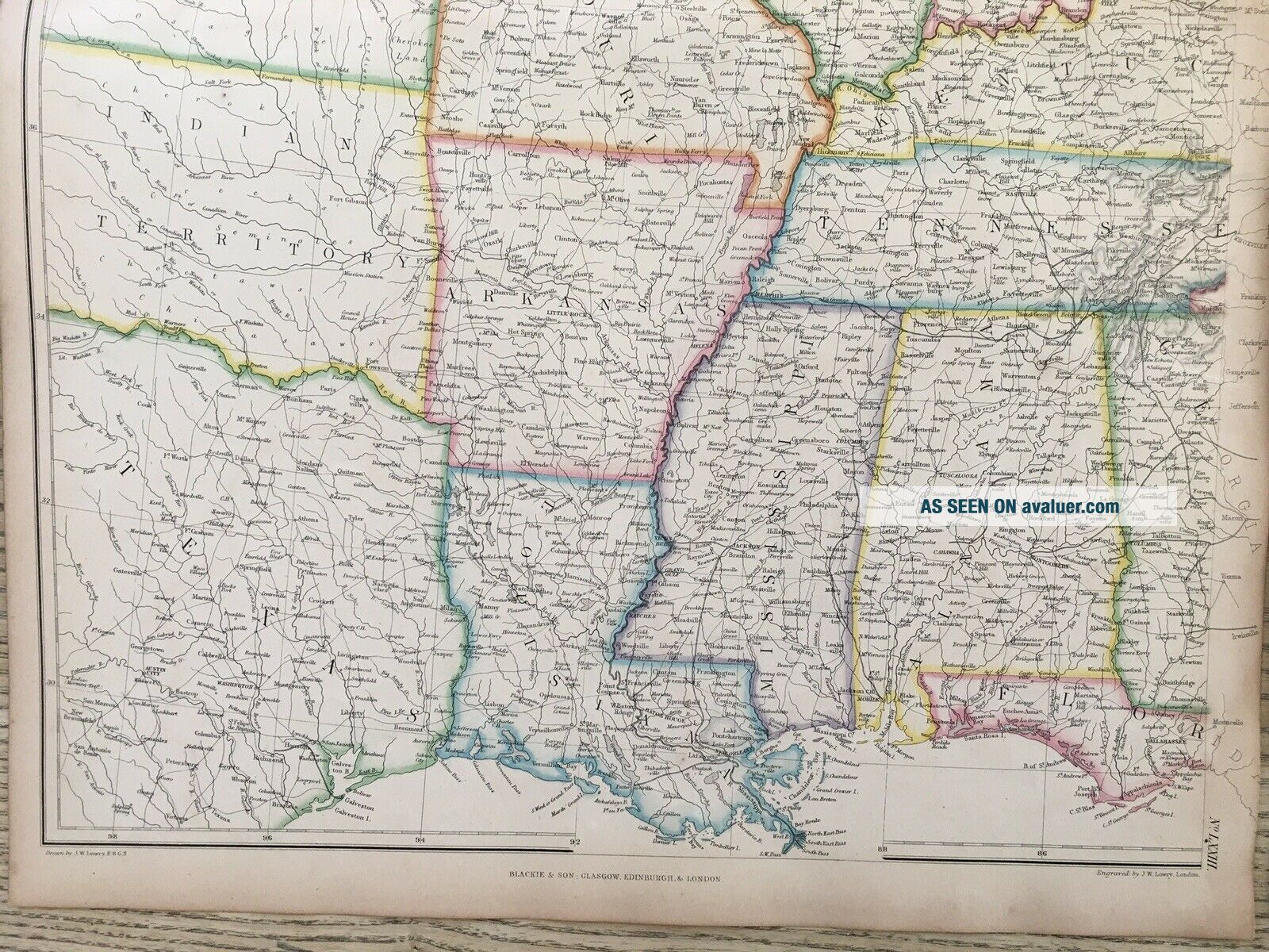
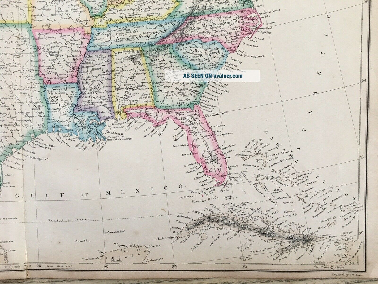
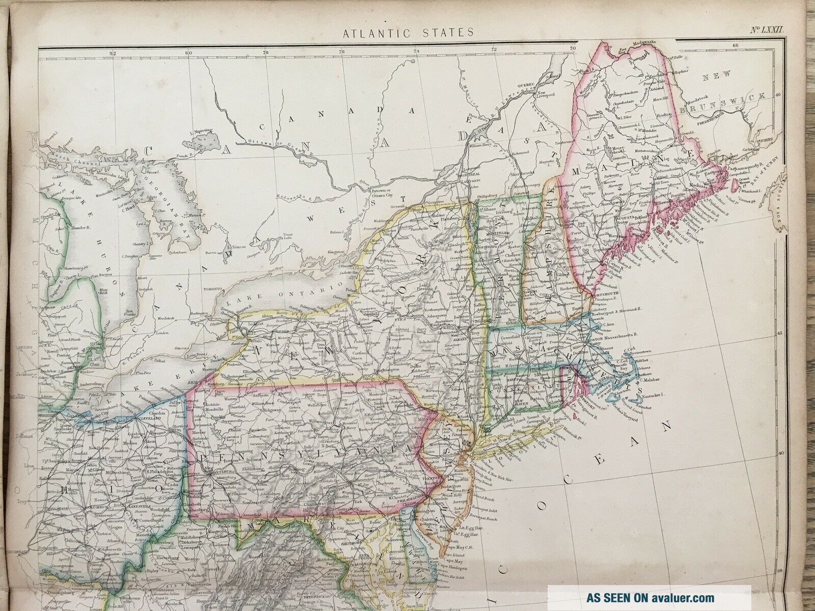
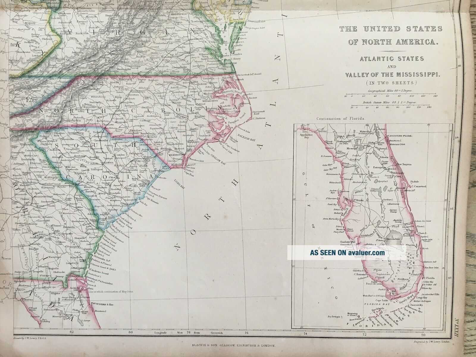
This large map is from The Imperial Atlas of Modern Geography by W.G. Blackie, published by Blackie and Son, London, 1859.
The map is hand coloured in outline and is printed on one side only and measures 53 cm x 36 cm or 21" x 14".
If you have any questions or would like to see more photographs then please do not hesitate to ask. This interesting map is an original antique which is 160 years old. 
Please check my other auctions for more antique, books, maps and engra...vings which are added every week.


    Similar items


  • 1859 North Italy Hand Coloured Antique Map By W.  G.  Blackie

    1859 North Italy Hand Coloured Antique Map By W. G. Blackie

  • 1859 Caucasus & Armenia Hand Coloured Antique Map By W.  G.  Blackie

    1859 Caucasus & Armenia Hand Coloured Antique Map By W. G. Blackie

  • 1884 United States Large Coloured Antique Map By W.  G.  Blackie

    1884 United States Large Coloured Antique Map By W. G. Blackie

  • 1859 North America Hand Coloured Antique Map By W.  G.  Blackie

    1859 North America Hand Coloured Antique Map By W. G. Blackie

  • 1859 Austria Hungary Hand Coloured Antique Map By W.  G.  Blackie

    1859 Austria Hungary Hand Coloured Antique Map By W. G. Blackie

  • 1859 South Italy Hand Coloured Antique Map By W.  G.  Blackie

    1859 South Italy Hand Coloured Antique Map By W. G. Blackie

  • 1859 Southeast Asia Hand Coloured Antique Map By W.  G.  Blackie

    1859 Southeast Asia Hand Coloured Antique Map By W. G. Blackie

  • 1859 The Philippines Hand Coloured Antique Map By W.  G.  Blackie

    1859 The Philippines Hand Coloured Antique Map By W. G. Blackie


    • You might also like


    • 1860 Mitchell Hand Colored Map Colorado,  Nebraska & Kansas - Civil War Era

      1860 Mitchell Hand Colored Map Colorado, Nebraska & Kansas - Civil War Era

    • 18th Century French Map Of North America

      18th Century French Map Of North America

    • Las Vegas Nevada Vintage 1967 Us Geological Survey Quadrangle Map 4 Panels

      Las Vegas Nevada Vintage 1967 Us Geological Survey Quadrangle Map 4 Panels

    • Rare Antique 1845 Maps United States Exploring Expedition Book Antartica Hawaii

      Rare Antique 1845 Maps United States Exploring Expedition Book Antartica Hawaii

    • Vintage 1926 Map Hollywood From The Best Surveys Of The Time

      Vintage 1926 Map Hollywood From The Best Surveys Of The Time

    • American Continent (western Hemisphere) 1747 Bowen Antique Copper Engraved Map

      American Continent (western Hemisphere) 1747 Bowen Antique Copper Engraved Map

    • Gulf Coast Florida Texas United States 1705 De Fer Unusual Antique Engraved Map

      Gulf Coast Florida Texas United States 1705 De Fer Unusual Antique Engraved Map

    • California As Island United States 1700 De Fer Unusual First Edition Antique Map

      California As Island United States 1700 De Fer Unusual First Edition Antique Map

Avaluer          About Us          Privacy Policy          Contact Us          UP
© 2022, avaluer.net, Inc. or its affiliates