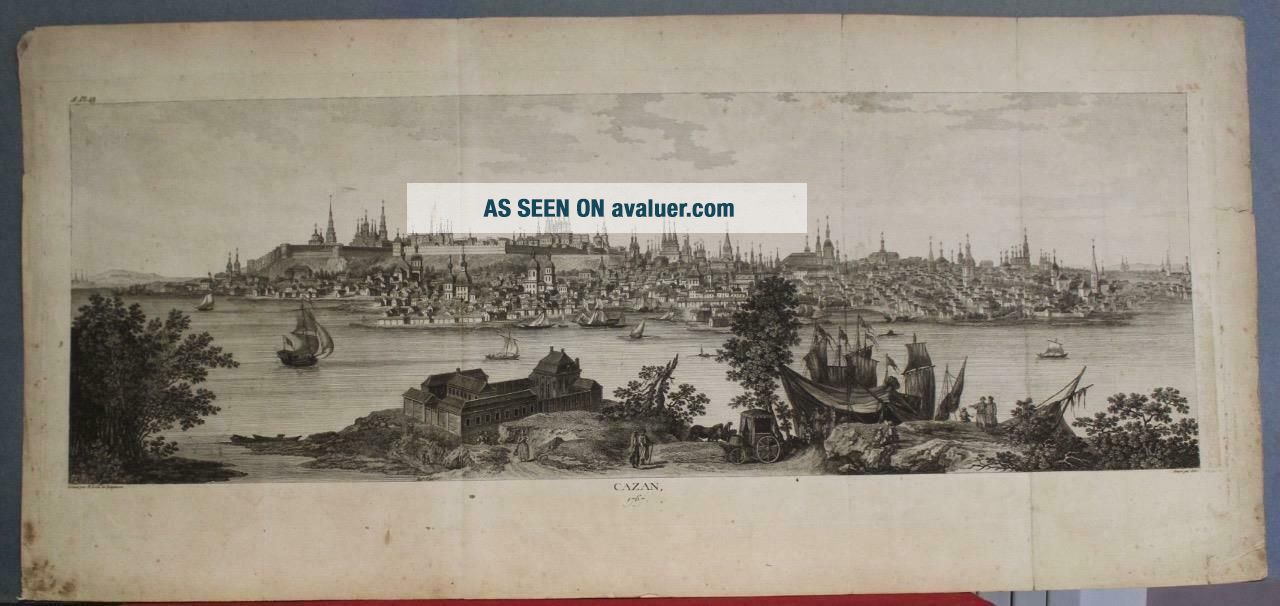
KAZAN RUSSIA 1767 LE CLERC/LESPINASSE ANTIQUE COPPER ENGRAVED CITY VIEW
Item History & Price
KAZAN RUSSIA 1767 LE CLERC/LESPINASSE ANTIQUE ORIGINAL COPPER ENGRAVED CITY VIEW

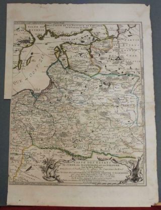
Lithuania Poland Latvia Russia 1700 De Fer Unusual Antique Copper Engraved Map
Russia Japan Tartary 1753 D ' Anville Wall Two Sheets Antique Copper Engraved Map
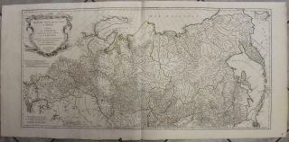
Russia Russian Empire 1786 Homann Heirs & GÜssefeld Antique Copper Engraved Map
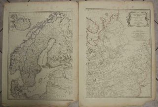
Scandinavia Russia 1787 Schraembl Wall Two Sheets Antique Copper Engraved Map
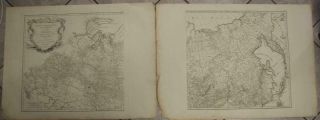
Russia 1787 Schraembl Wall Two Sheets Antique Copper Engraved Map
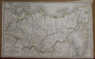
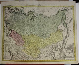
Russia Russian Empire In Asia China 1821 Tardieu Antique Copper Engraved Map
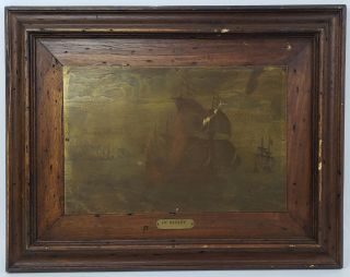
Antique Copper Engraving Printing Plate " Le Depart " By Pieter F. H. Bruegel
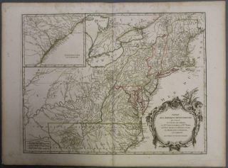
United States East Coast 1797 Vaugondy & Delamarche Antique Copper Engraved Map

Hungary & Romania 1579 (1584) Ortelius Unusual Antique Copper Engraved Map

Brussels Bruxelles Belfium 1777 De Ferraris & Dupuis Large Antique Map Sheet Xxi

1616 Atlas Map Of Iceland.

1899 Stanford, Folding Map Of Norwich, Norfolk, Arthur Collins, Jarrold & Sons,

1948 Vintage Linen Colour Map Geological Survey Ten Mile Of Great Britain

1944 Map Flying Bombs Sussex Ww2 Newspaper Military Kent Courier German V1 V2
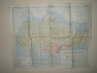
Singapore 1964 Ordnace Survey Map